
Africa’s Highest Peak
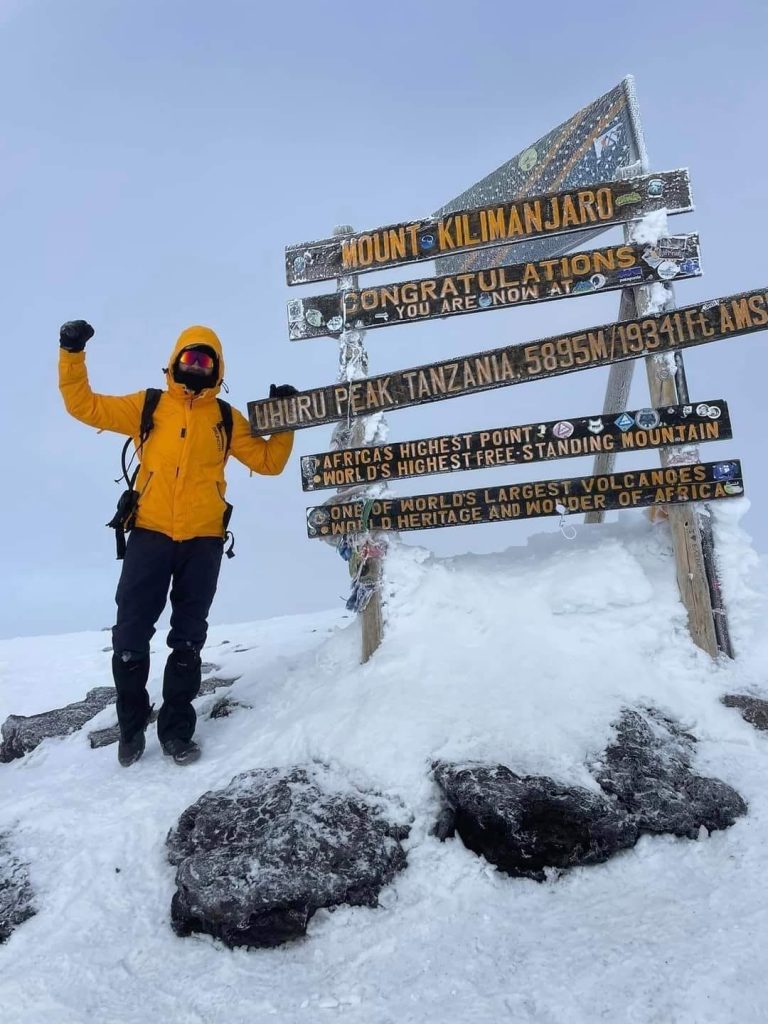
The name “Kilimanjaro” is one of those names that can easily give you chills, as you imagine yourself standing on its peak – Uhuru Peak – glistening with adventure and mystique. This is Africa’s highest mountain and the world’s tallest free-standing mountain. Its highest peak rises at an impressive height of about 5,896 metres above sea level – perfectly nicknamed “The Roof of Africa.”
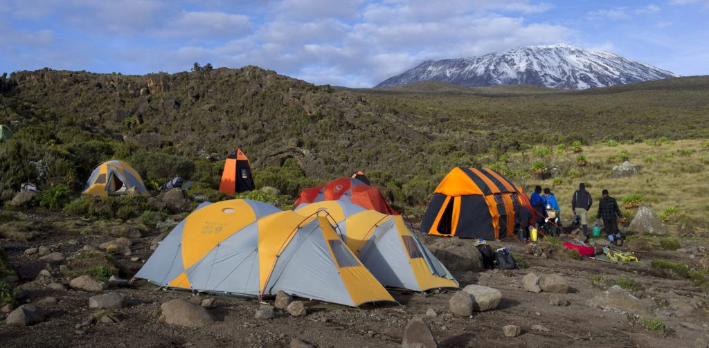
Kilimanjaro is a popular destination among most visitors to Tanzania, and it is not just because of its panoramic views and unique ecosystem, but mostly because of the less strenuous and comfortable treks it offers to both professional mountaineers and novices alike.
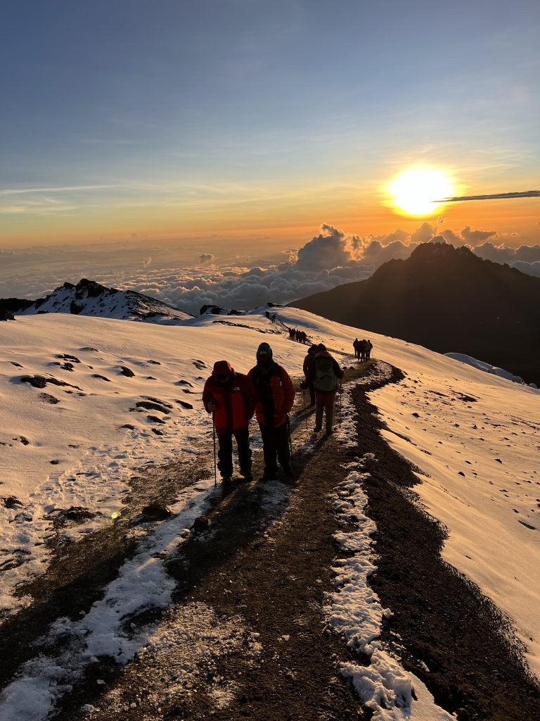
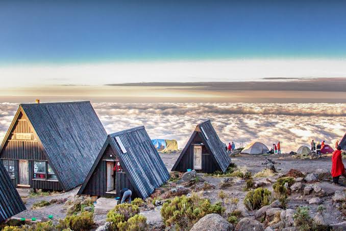
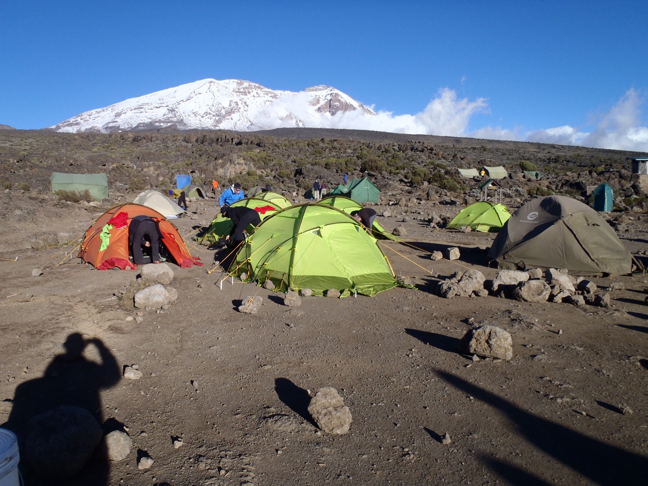
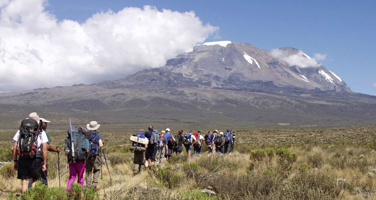
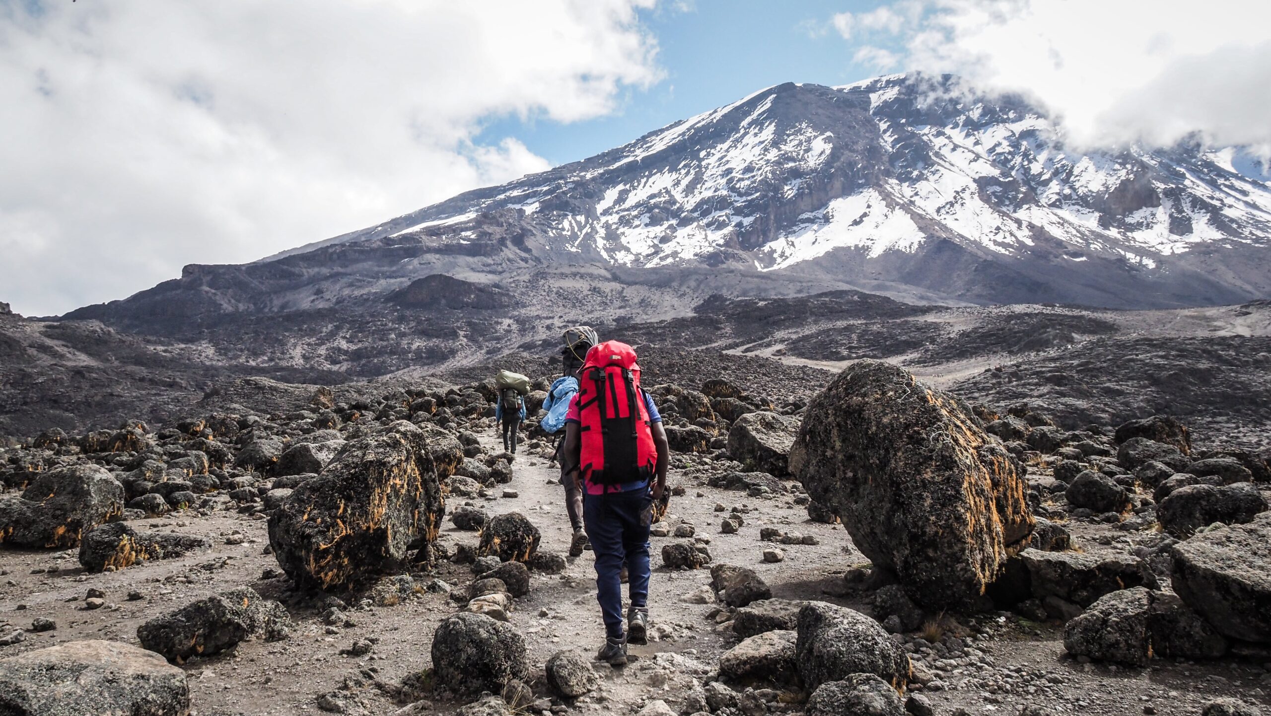
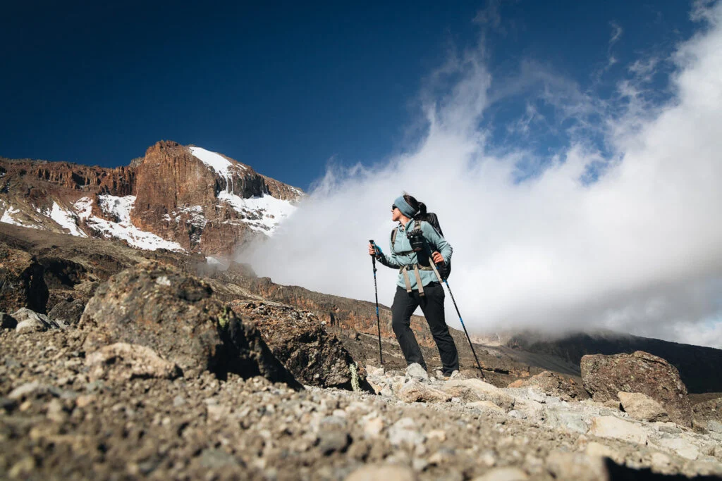
Kilimanjaro, a dormant volcano, is unique in that it offers climbers the opportunity to walk through different climatic zones in just seven days, from rainforest to arctic desert.
Ranging at an altitude of 2,600 and 6,000 ft, this zone is dominated by agricultural activities due to the area’s fertile volcanic soil that supports diverse agricultural practices.
Sitting at an altitude between 6,000 and 9,200 ft, this zone encircles the mountain, and is characterized by a dense, wet montane forest, supporting a rich variety of flora and fauna.
This zone sits at an altitude that ranges from 9,200 to 11,000 ft after the rain forest. It is known for its vast open spaces and is often compared to the Scottish Highlands due to its giant heathers. It is a critical part of the Kilimanjaro trekking experience, allowing climbers with their first incredible views of the mountain peak.
Rising between 13,200 to 16,500 ft altitude, this zone is characterized by extreme temperature that fluctuates. The landscape is stark and barren with water scarcity. Due to the harsh conditions, this zone challenges trekkers and prepares them for the final summit push.
Ranging at an altitude between 16,500 and 19,340 ft, the summit zone characterized by arctic conditions, featuring sub-zero temperatures most of the time and a landscape dominated by ice and rock. This is the final challenge before reaching the Kilimanjaro Summit, testing all aspects of a climber’s resilience and endurance.
Dry conditions, clear skies, and fewer climbers. Good visibility and steady weather.
Peak climbing season with the most stable weather and the highest success rates.
Long rainy season. Trails are wet and visibility is limited. Not ideal for most climbers.
Short rains. Weather can be unpredictable, but crowds are smaller.
Can a travel experience be any more complete? You decide! Let’s bring your safari dream to life. Discuss your expectations with us and watch us fulfilling them.
Beginning at Lemosho Gate on Kilimanjaro’s western flank, the Lemosho Route is widely regarded as one of the mountain’s most rewarding approaches. Although it can be completed in six days, most climbers choose seven or eight nights to allow proper acclimatization, which significantly improves summit success. As the newest and most westerly route, it offers a longer and more gradual ascent than direct alternatives, making it suitable for those new to high altitude trekking.
The route passes through remote rainforest where elephant, buffalo, and antelope are sometimes seen, before opening onto the Shira Plateau and its broad moorlands. The trail then reaches Lava Tower, a prominent volcanic formation used for altitude adjustment, before descending into Barranco Valley with its distinctive high-altitude flora. The climb over Barranco Wall leads to Karanga Valley, followed by an overnight at Barafu Camp. From here, the final ascent to Uhuru Peak begins before dawn.
The Machame Route begins on the southern side of Kilimanjaro and is the most commonly used approach to the mountain. Its trailhead is easy to reach, which helps keep costs lower and provides a wide choice of operators. The route involves steeper ascents and descents than Rongai or Lemosho, demanding solid fitness, but its overall length is shorter and experienced trekkers often complete it in six days.
The route passes through a wide range of environments. Dense rainforest gives way to heather and moorland, followed by the Shira Plateau with its lobelia and senecio. Higher up, vegetation thins and the trail crosses exposed lava slopes and rocky ridges. Climbers tackle Lava Tower and the Barranco Wall before the path curves around much of the mountain toward Barafu Camp and the final ascent to Uhuru Peak. This route attracts more climbers than other routes, though this is offset by reliable acclimatization, varied terrain, and a strong record of summit success.
The Rongai Route approaches Kilimanjaro from the north, close to the Kenyan border, and is the only route on that side of the mountain. Access is less direct than southern routes, making logistics slightly longer, but the reward is a quieter trail and generally drier conditions. The route passes through open woodland and moorland with regular chances to see wildlife before reaching the alpine zone.
Rongai usually takes six to eight days and follows a steady gradient without technical sections or rope work. Camps are sensibly spaced, supporting gradual altitude gain and consistent daily progress. The ascent joins the Marangu route near Kibo, continuing to Gilman’s Point and on to Uhuru Peak by a long, even climb. The main limitation is limited opportunity to trek high and sleep low, which can affect acclimatization. For climbers new to altitude, this requires careful pacing planning.
Approaching Kilimanjaro from the southeast, the Marangu Route is the oldest route on the mountain. Often called the Coca-Cola route, it follows a direct, gradual gradient that leads many trekkers to assume it is easy. The main challenge comes from short itineraries, as many attempts are made in five days, which limits proper acclimatization and lowers summit success.
Marangu is the only route with hut accommodation, using shared dormitories with dining rooms and basic wash facilities that change with altitude. This makes it practical during the rainy season. The ascent and descent follow the same trail, reducing variety and increasing congestion in peak months, but the route remains a historic option for climbers seeking structure and shelter rather than tents and variable campsites common elsewhere on the mountain during high season periods each year globally.
Beginning at Londorossi Gate, the Northern Circuit approaches Kilimanjaro from the west and avoids the busy southern routes. It follows the Lemosho track through intact rainforest before climbing to Shira Ridge, the mountain’s broad western shoulder. From here the route crosses the Shira Plateau, passes the Shira Cathedral, then turns onto little used northern trails with open views toward Kenya’s Amboseli Plains. The final ascent joins the Rongai and Marangu routes at Gilman’s Point, with descent by the Mweka trail rather than retracing the approach.
The northern side of Kilimanjaro is the quietest part of the mountain, with fewer trekkers and long stretches of uninterrupted walking. The itinerary spans nine days, with an eight-day option for experienced hikers. Gradual elevation gain and extended time at altitude support acclimatisation and contribute to strong summit success rates. Wildlife sightings are possible on the lower slopes, while scenery changes steadily from forest to alpine desert.
Mount Ol Doinyo Lengai rises to about 2962 meters above sea level and stands apart as the only active volcano in the world that produces tetracarbonate lava. Located near Lake Natron, it holds deep cultural significance for the Maasai, who regard it as a sacred mountain.
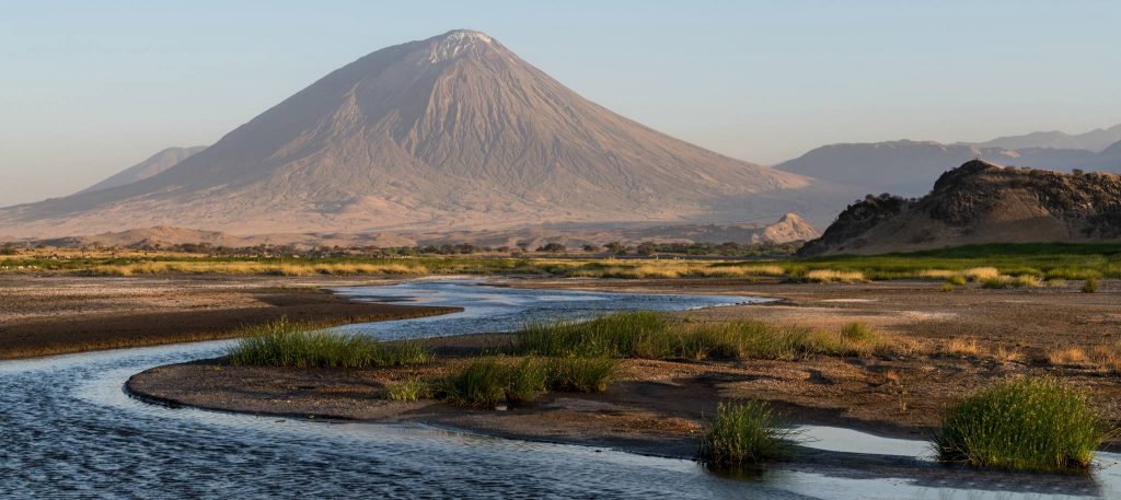
The climb is steep and demanding, usually undertaken at night to avoid heat and loose volcanic ash. From the summit, views stretch over the Rift Valley floor, Lake Natron, and, on clear mornings, Mount Kilimanjaro in the distance. The ascent is short but physically intense and best suited to fit, experienced hikers seeking a raw and unconventional trekking experience
Standing 4566 meters above the sea level, Mount Meru is Tanzania’s second highest mountain after the legendary – Mt. Kilimanjaro, and is located within Arusha National Park. The trek passes through grassland, forest, and alpine zones, with regular sightings of giraffe, buffalo, and colobus monkeys on the lower slopes.
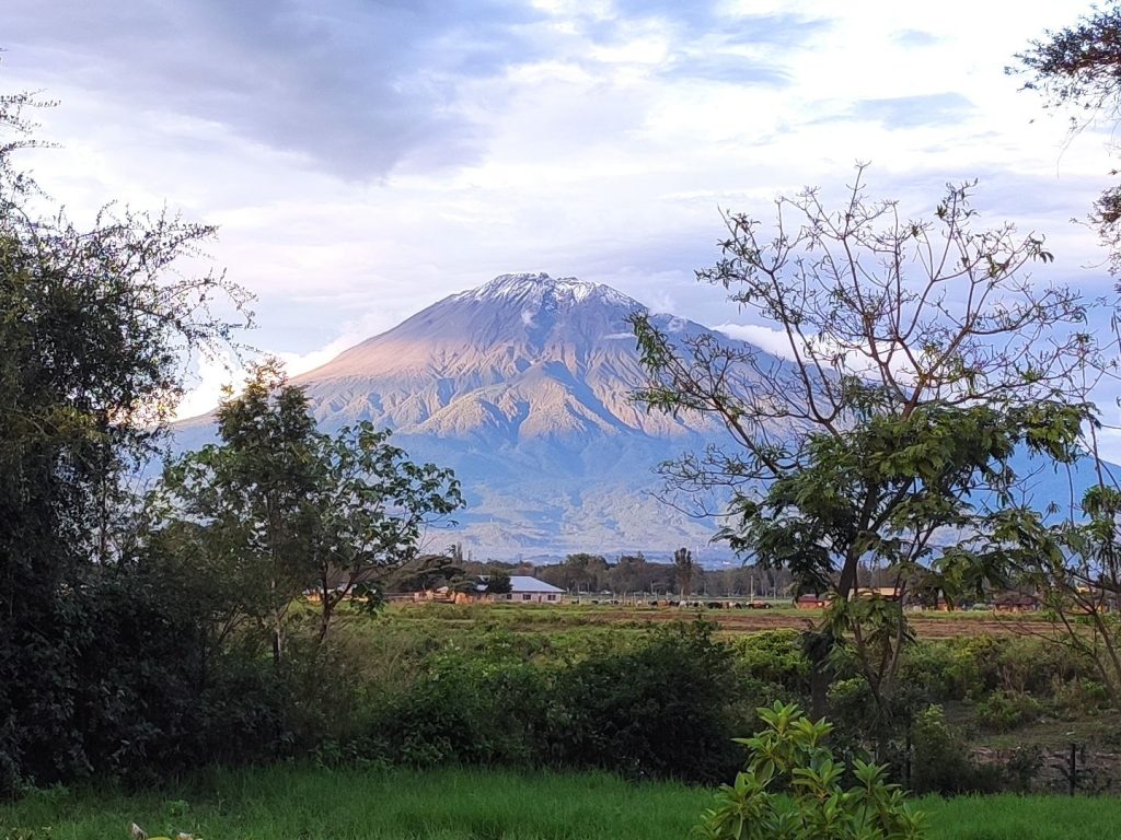
The route is well defined and less crowded than Kilimanjaro, offering strong acclimatisation benefits for high altitude trekking. Summit views from Socialist Peak include Mount Kilimanjaro and the surrounding plains, often at sunrise. Meru is climbed over three to four days with armed rangers accompanying trekkers in wildlife areas.